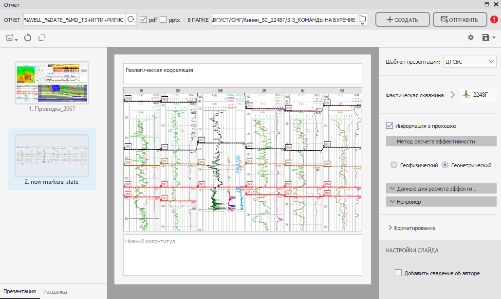
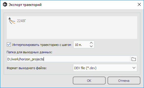
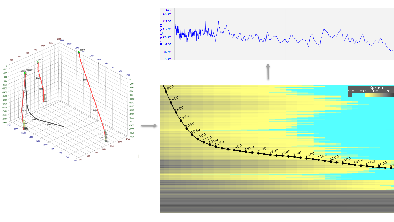
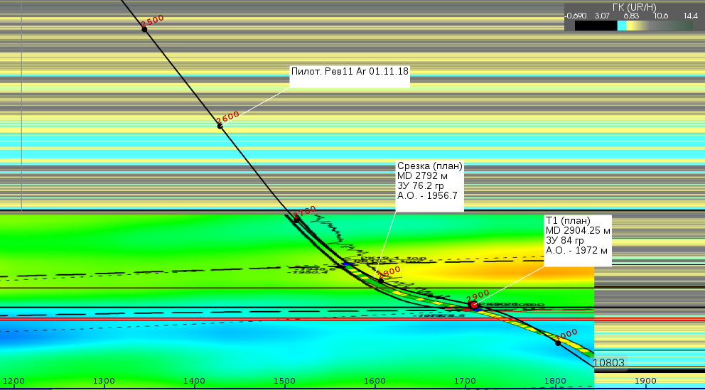
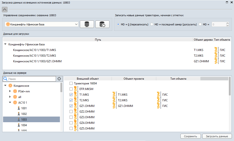
RN-HORIZON+ implements state-of-the-art techniques for rapid importing of initial project data from various sources, building 3D geosteering model, updating this model in real time through WITSML, identifying structural grid angles and predicting drilling direction at any time followed by automagical formatting and sending reports.
Real-Time Geosteering
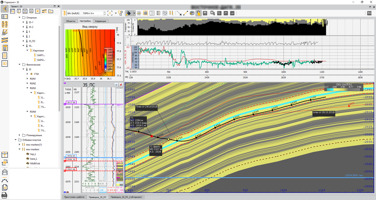
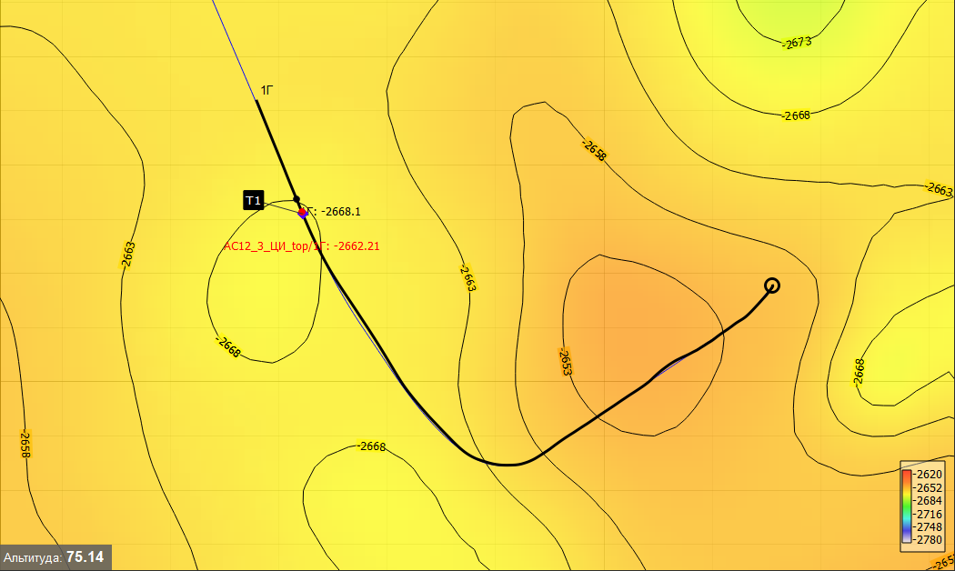
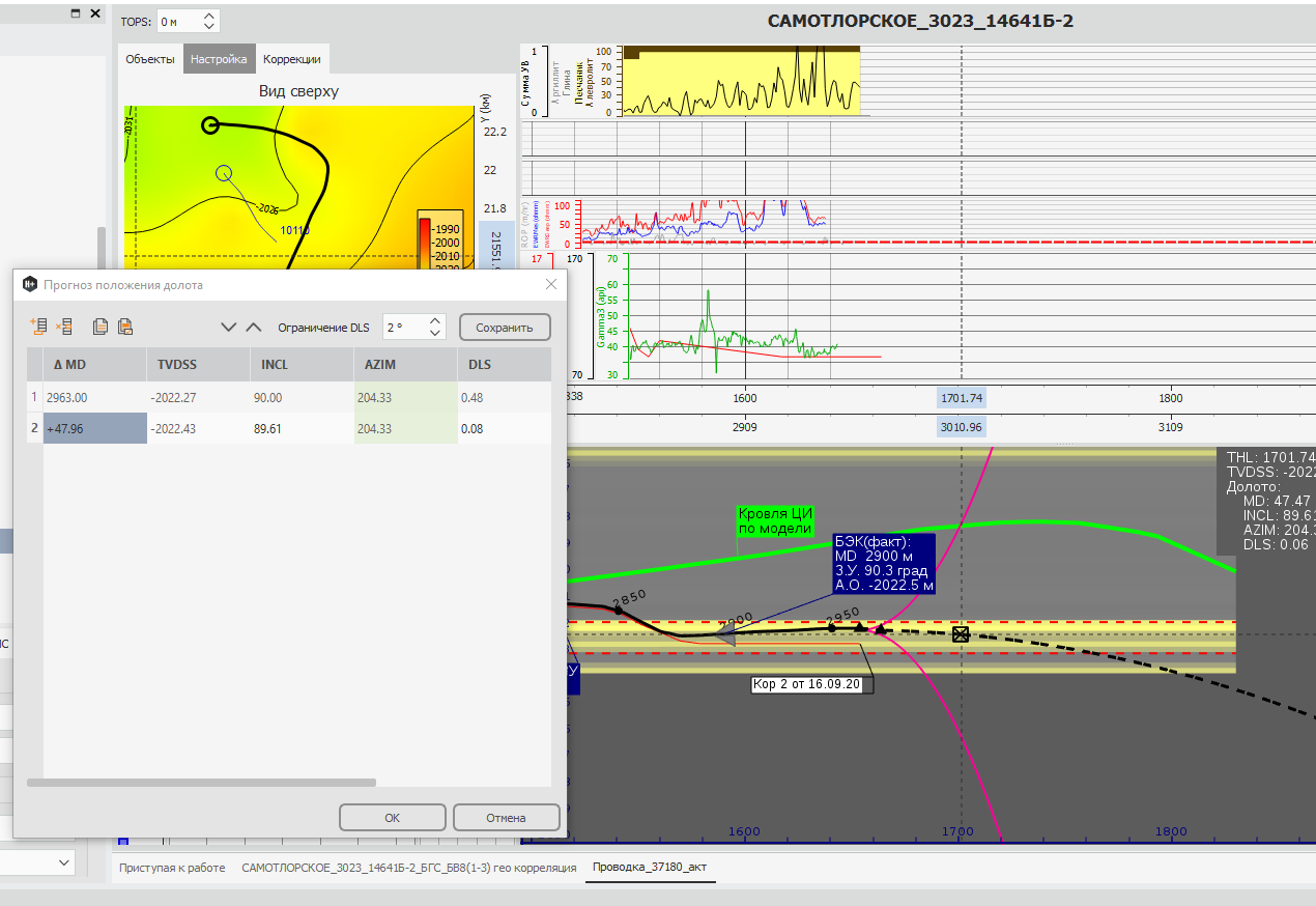
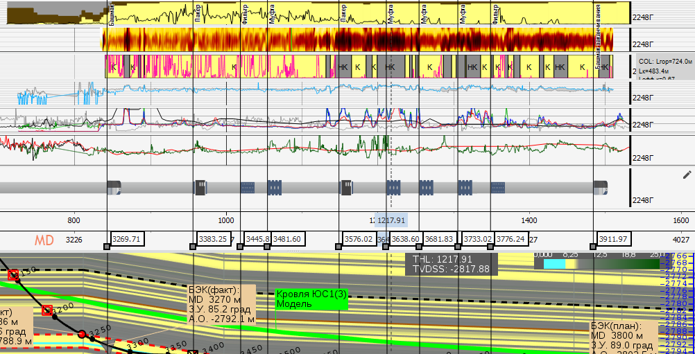
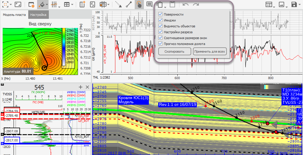
RN-HORIZON + provides a full set of tools for horizontal well control during drilling with the aim of its optimal placement in the target zone.
Software versions for Windows and Linux are availableInformation on the software price and purchase conditions will be provided upon requestListed in the Unified Register of Russian Programs for Electronic Computers and Databases